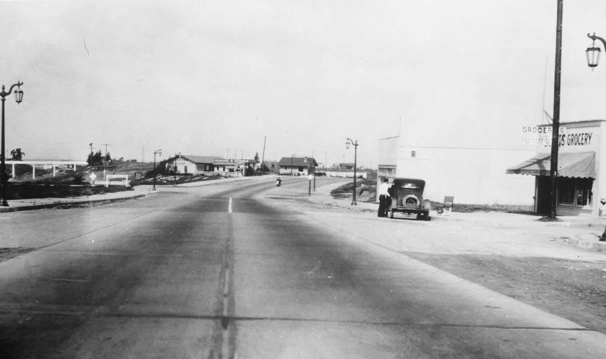
Supermarkets come to Newport Beach
From the start of World War II through the early 1960s California’s population increased dramatically, making it the most populous state by 1962. Like California as a whole, Newport Beach grew faster than any point its history, from 4,438 residents in 1940 to 26,564 in 1960. The influx of new residents also meant an increased need for housing and shopping.
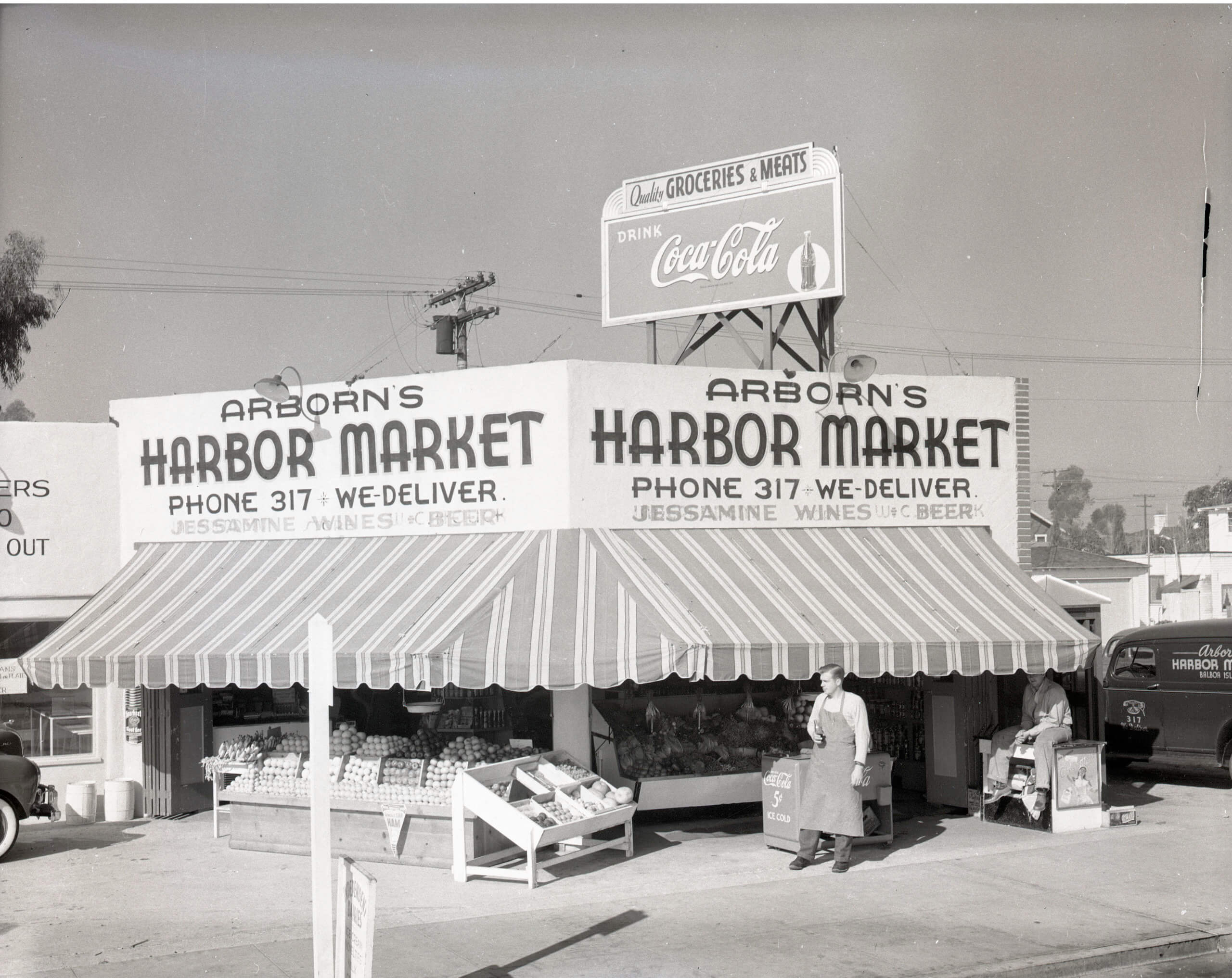
Small neighborhood stores such as Arborn’s Harbor Market on Balboa Island were typical in the years prior to World War II. But with the increased population, larger stores became viable. Supermarkets, characterized by larger stores, self-service shopping and individual departments began to emerge.